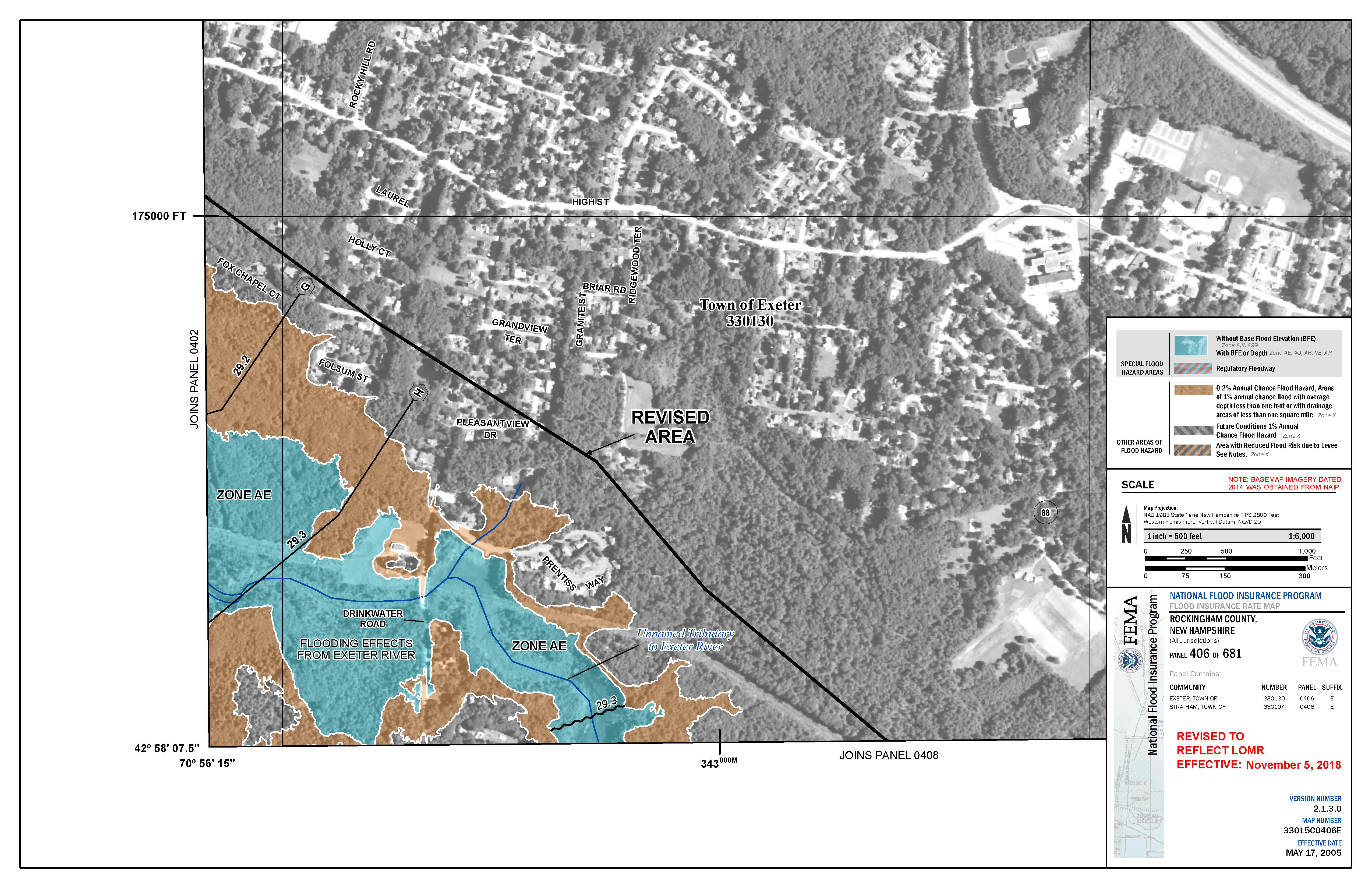
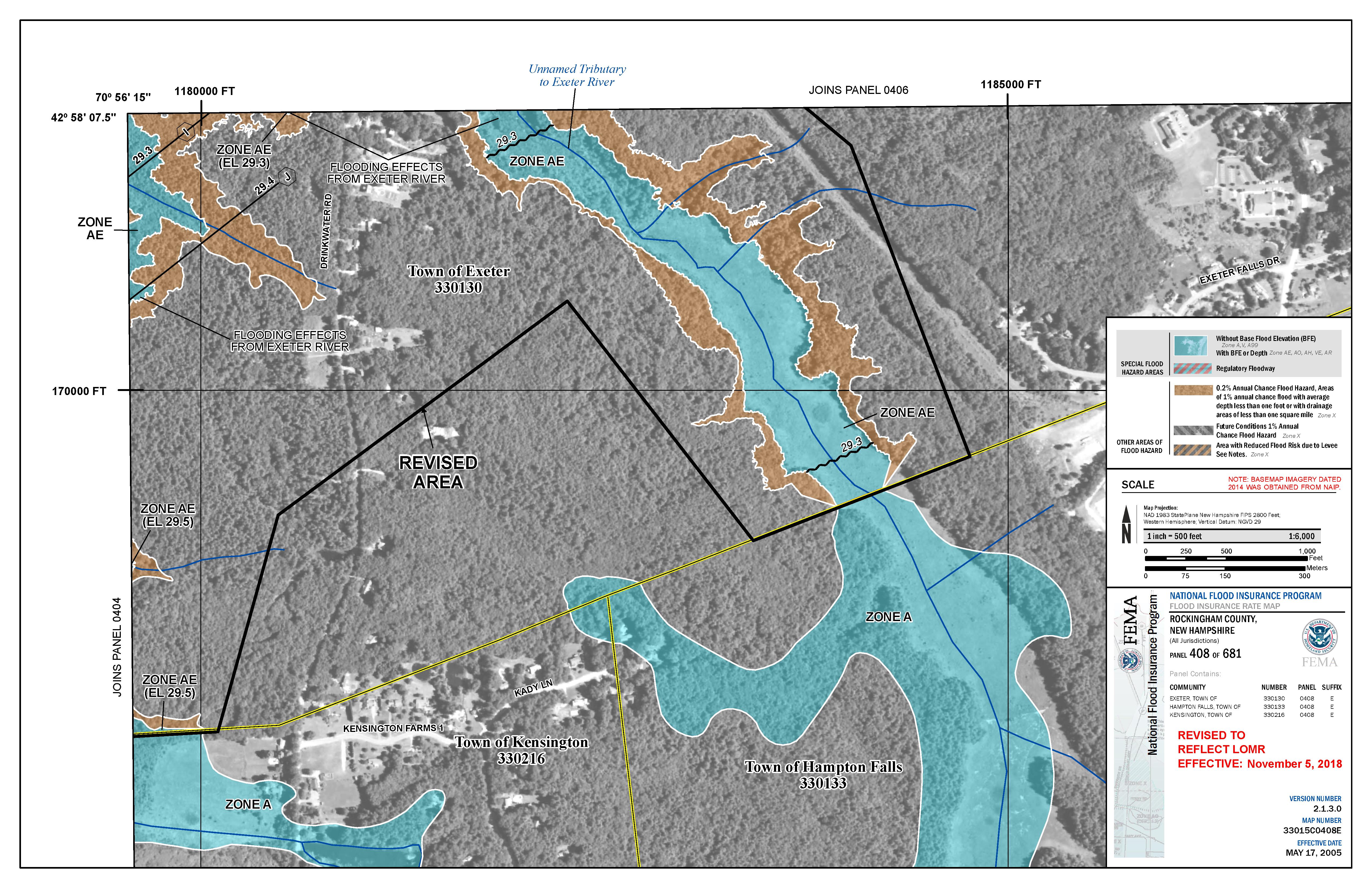
FEMA LOMR Flood Maps effective 11/5/18
Great Dam Removal - Flood Insurance Rate Map (FIRM) Revisions
The Great Dam was removed in October 2016. The National Flood Insurance Program regulations require documenting flood plain elevations/extents following a dam removal. To update the flood maps a Letter Of Map Revision (LOMR) was prepared. The flood map changes also included improved topographic and hydrologic data. The following firm revisions became effective on November 5, 2018.